
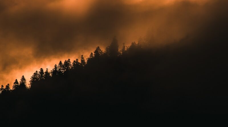
Satellite Technology Strengthens Wildfire Prevention
European countries have announced a series of technological initiatives aimed at improving wildfire prevention and forest protection using satellite imagery and advanced environmental databases, according to a recent publication by the Center for Ecological Research and Forestry Applications (CREAF).
Among these initiatives is a new digital platform that provides daily updates on the water status of forests across the Iberian Peninsula and the Balearic Islands. The platform combines satellite imagery, meteorological data from the Spanish State Meteorological Agency (AEMET), and information from regional agencies to assess the potential for wildfires to spread through forest canopies, while also monitoring moisture levels in dead vegetation.
These indicators are particularly important because two forest ecosystems exposed to the same weather conditions may present very different wildfire risks. According to data collected in 2026, forests entered early June with adequate water reserves; however, successive heat waves have significantly reduced soil moisture, increasing the risk of large-scale wildfires.
“When plant moisture levels fall below 100%, it is usually an indication of drought stress. If moisture drops below 80%, wildfire warning systems are activated,” explains Miquel de Cáceres, a researcher at the Spanish National Research Council (CSIC) and CREAF, in statements to SINC News Agency.
Scientists emphasize that integrating satellite technology, climate monitoring, and predictive data analysis has become one of the most effective tools for anticipating wildfire behavior and supporting decision-makers in protecting forests and surrounding communities.
Source: National Geographic (2026). Intergovernmental Panel on Climate Change (IPCC) Report.